GIS Class Portfolio
Simple put, below are all of the projects completed in my college ARCGIS or Geographic Informaton systems class. Some of the worsk are of esri and its arcGIS, others are examples of leaflet and bootraps.
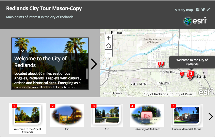
This was an intro project about the designs of arcGIS.
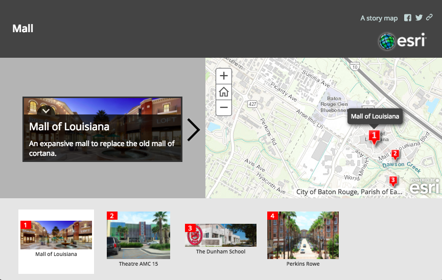
This is a more customized project about a local venue I visit.
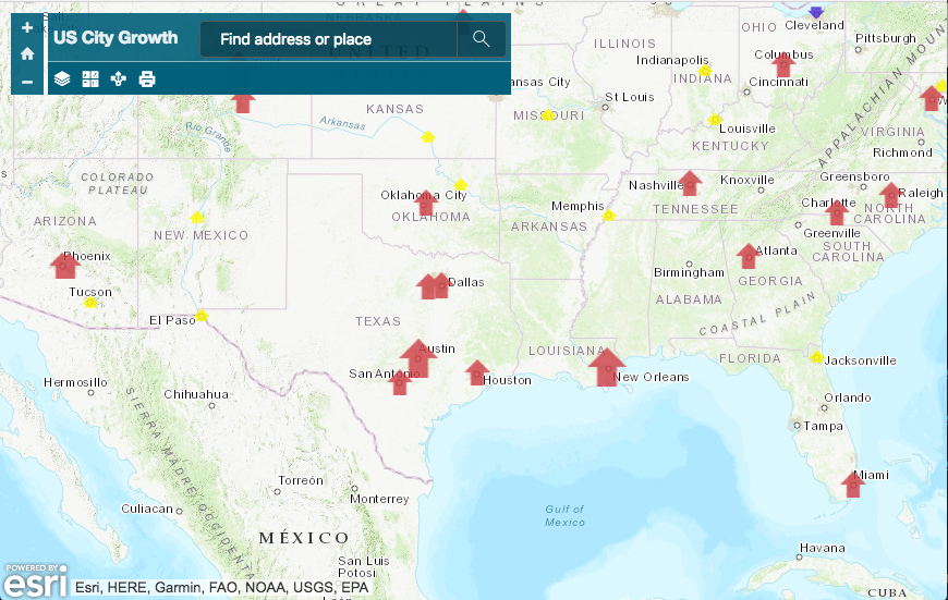
This is a step toward geographic information manipulation.
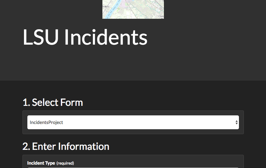
This is loading and submitting geographic data, and messages.
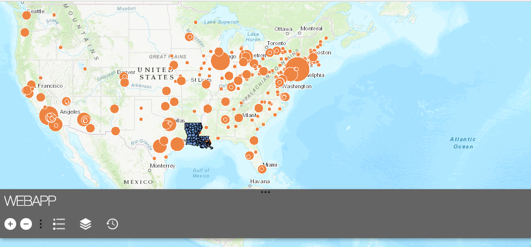
This is a more advanced webapp with more fucntions.
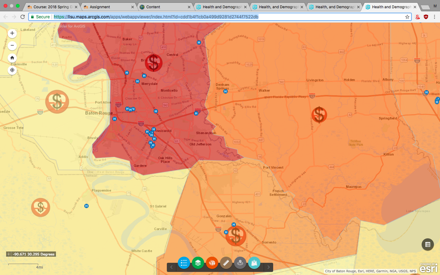
This was several layers and manipulation between them.
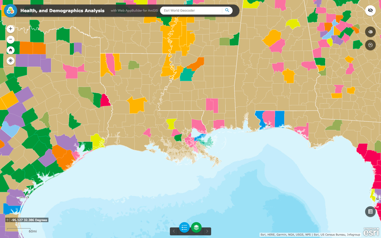
Higher level Health and demo.
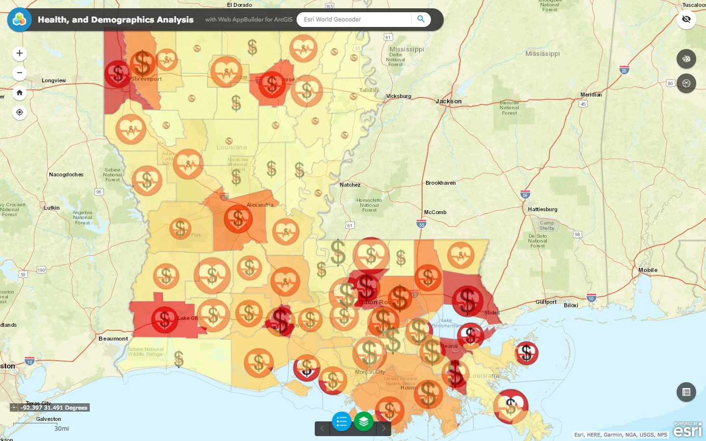
Another map for a general project.
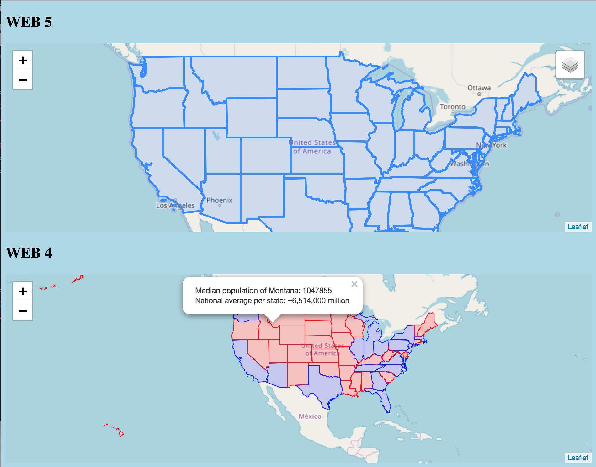
These are a few leaflet maps and such that I worked on.
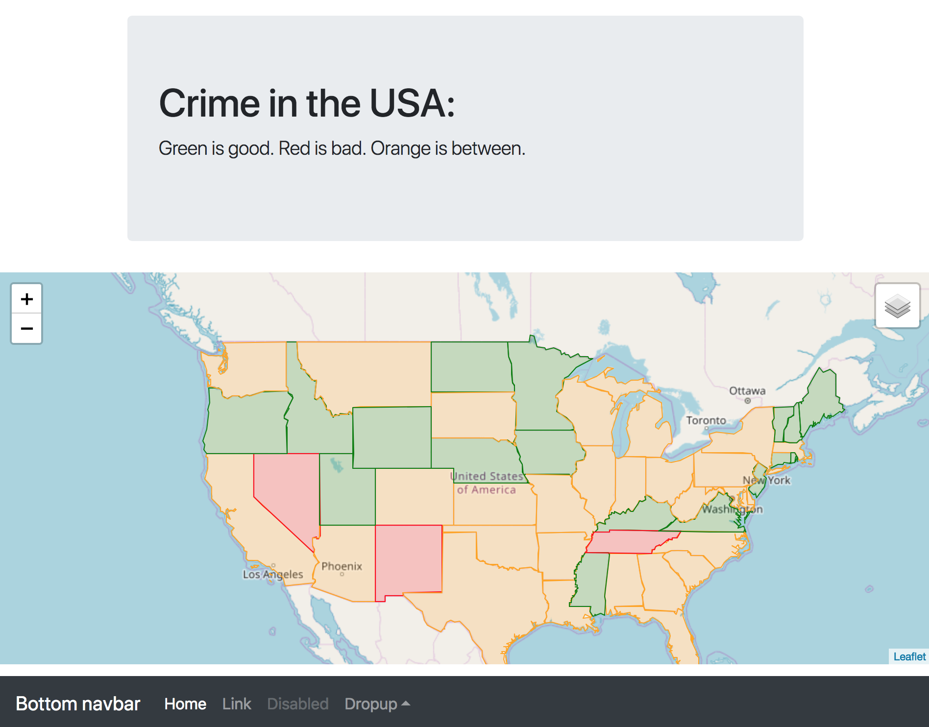
The final project for leaflet stuff.